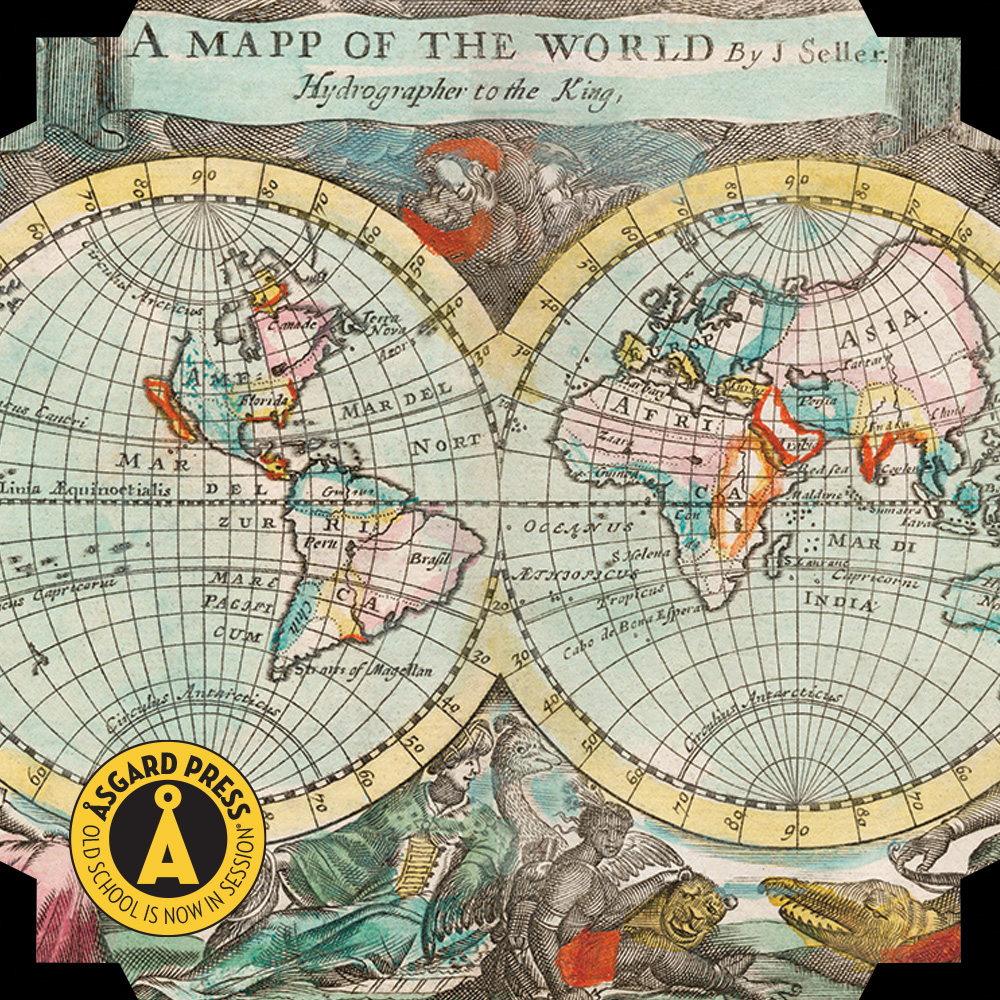
A Gallery of Vintage Maps That Are Also Art

A Gallery of Vintage Maps That Are Also Art

Most of us think of maps as functional documents that assist us in navigating from place to place. But printed maps have their own sort of nostalgic beauty, particularly since map usage in the modern era is almost exclusively digital. Many mapmakers of the past embellished their functional work with beautiful – even fantastical – art, sometimes even creating a new illustration out of the outlines of their geographical renderings.

Presented here is a gallery of vintage and antique maps that could double as decorative art. If you would like to see even more, our 2024 Vintage Maps Calendar includes a baker’s dozen images of stunning map art, all perforated for easy removal and sized to fit standard frames, so you can fill your own walls with these masterpieces of cartography.

vintage map image
A mapp of the world, John Playford, 1682. The New York Public Library.

vintage map image
Sterrenkaart van de zuidelijke sterrenhemel, Carel Allard, c. 1722–1750. The Rijksmuseum.

vintage map image
Bankoku Jinbutsu no Dzu (Picture of the World and its People), Imakajiyamachi Eijudo, 1825. The Beinecke Rare Book & Manuscript Library.

vintage map image
View of Antwerp from Braun and Hogenberg’s Civitates Orbis Terrarum, designed by Joris Hoefnagel, edited by Georg Braun, 1572–1594. The MET Museum.

vintage map image
Papagallo no.15 la Piovra Russa Anno VI, Augusto Grossi, 1835-1919, a cartoon depiction of Europe in 1878, using caricatures and monster kraken. Library of Congress.

vintage map image
Astronomical chart illustration of the Scorpio, Sidney Hall, c. 1831. Library of Congress.

vintage map image
Astronomical chart illustration of the Monoceros, Canis Minor and the Atelier Typographique, Sidney Hall, c. 1831. Library of Congress.